Charles W. Ward Reservation
The Charles W. Ward Reservation is a 729-acre Trustees property at 65 Prospect Road in Andover, open daily from 7 a.m. to sunset, with almost 15 miles of trails over Shrub, Boston and Holt Hills. Holt Hill is the highest point in Essex County, with the Solstice Stones on top and views toward the Boston skyline. Trustees members park free; nonmembers pay a parking fee. Dogs are welcome on leash.
Ward Reservation at a Glance
Holt Hill and the Solstice Stones
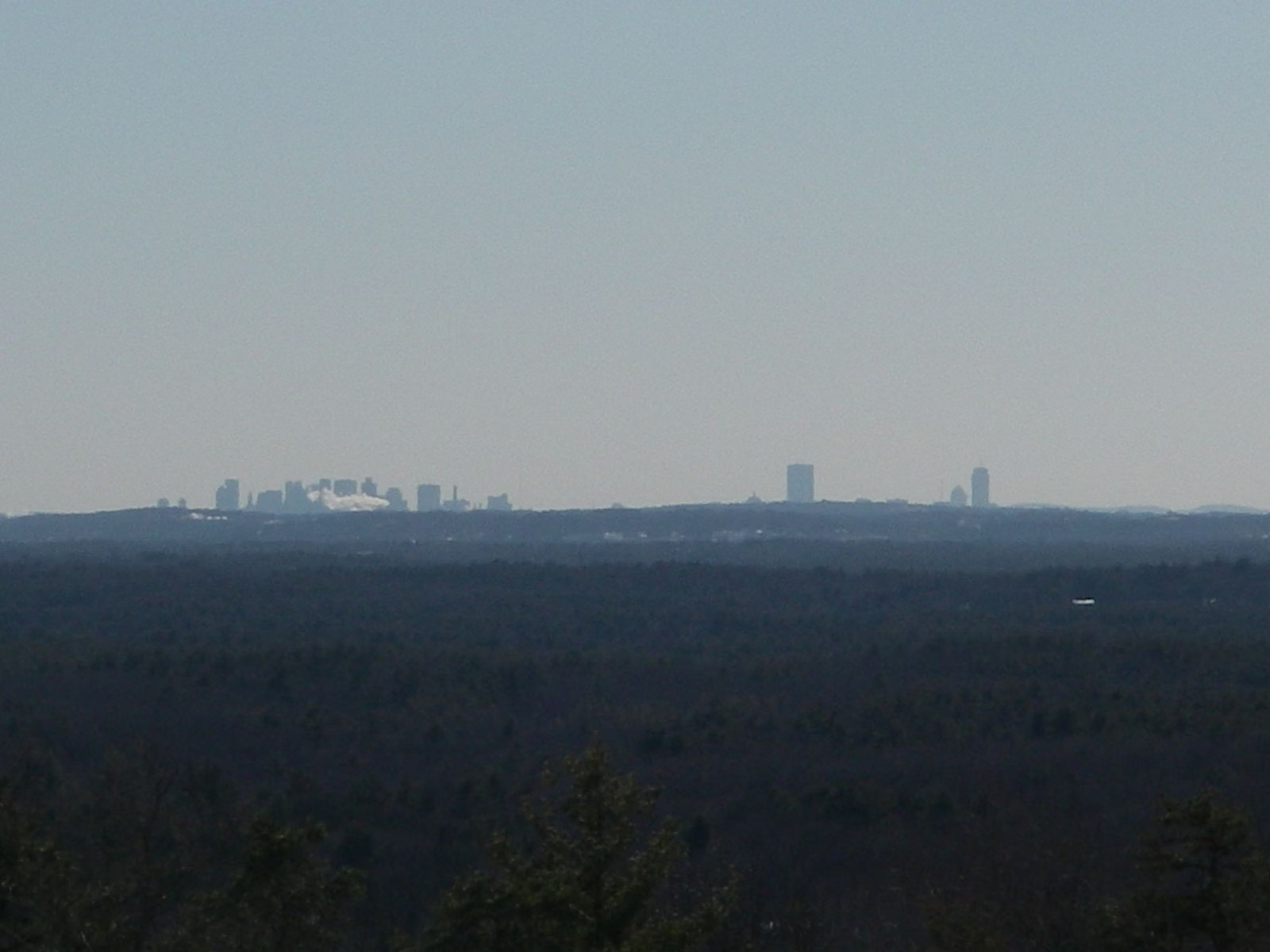
The Trustees describe Ward as a quilt of fields, forests and uplands stitched together from more than 40 parcels across two Merrimack Valley towns. Trails link its three main hills, Shrub, Boston and Holt. On top of Holt Hill, the highest point in Essex County, a compass-like ring of stones called the Solstice Stones marks where the sun sets on the longest and shortest days of the year. From the summits you look out over the Merrimack Valley toward the Boston skyline. The Trustees' map marks the old fire tower on Holt Hill as closed.
Pine Hole Bog Boardwalk
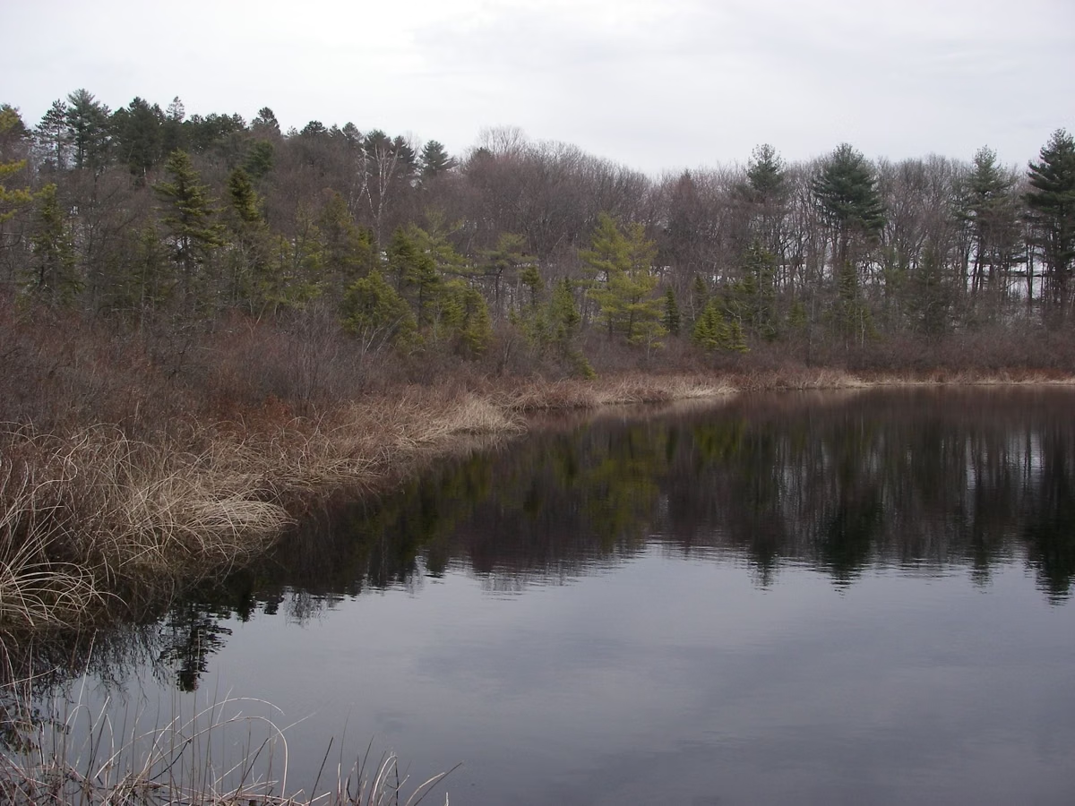
A short walk from the parking lot brings you to Pine Hole Pond, where a boardwalk crosses a quaking bog: concentric rings of floating vegetation, each with its own growing conditions. The Trustees list orchids and insect-eating pitcher plants among the bog's plants, and numbered stations along the boardwalk point out botanical and geologic features. The Bog Trail is 0.6 mile round trip on The Trustees' map.
Accessible Trail
Ward has accessible parking and a wheelchair-accessible trail about a quarter mile long, out and back. It starts at the lot on stone dust, switches to wood decking and ends at a floating dock and viewing platform on the open water of Pine Hole Bog. Four accessible benches are spaced along the way.
The Loop Trails
The Trustees' map (September 2022) shows three color-coded loops plus the Bog Trail:
- Yellow Loop: 1.0 mile.
- Blue Loop: 2.5 miles.
- Red Loop: 3.0 miles.
- Bog Trail: 0.6 mile round trip.
The Trustees rate the hiking easy to moderate, strenuous in places. Some trails are part of the Bay Circuit Trail, the regional greenway that also crosses Harold Parker State Forest. The entry kiosk has a property map, and map stations stand at trail intersections. The Trustees suggest photographing the kiosk map before you set out. Their map also names Elephant Rock and several swamps and meadows.
Hours, Admission and Parking
- Open daily, 7 a.m. to sunset.
- Trustees members free. Nonmembers pay a parking fee; check The Trustees' parking page for the current rate.
- Address: 65 Prospect Road, Andover, MA 01810.
- From I-93 Exit 35: Route 125 north 5 miles, right on Prospect Road for 0.3 mile to the lot on the right.
- From I-495 Exit 100A: Route 114 east 1.7 miles, right onto Route 125 south for 1.6 miles, left on Prospect Road for 0.3 mile.
Rules
- Carry in, carry out.
- Dogs on leash.
- No ATVs, motorbikes or other motorized vehicles. No metal detecting.
- Limited bow hunting by written Trustees permission only, under a deer management program, from the first Monday in October through December, Monday to Saturday. No hunting on Sundays. Wear bright colors in fall.
- Portrait photographers are asked to become Trustees members first.
Ward and Harold Parker
Ward Reservation and Harold Parker State Forest are a few miles apart in Andover. Ward is the place for a hilltop view and the bog boardwalk; Harold Parker is the place for pond loops, mountain biking, swimming at Berry Pond and camping. Both welcome dogs, though Harold Parker allows them off-leash on its trails. More nearby: Weir Hill and things to do in Andover.
Ward Reservation FAQ
How big is Ward Reservation?
729 acres, according to The Trustees' trail map, with almost 15 miles of trails.
What is the highest point in Essex County?
Holt Hill at Ward Reservation in Andover, according to The Trustees. The Solstice Stones sit on its summit.
Is Ward Reservation free?
Free for Trustees members. Nonmembers pay a parking fee. The reservation is open daily from 7 a.m. to sunset.
Are dogs allowed at Ward Reservation?
Yes, on leash, under The Trustees' rules.
Is there a wheelchair-accessible trail at Ward Reservation?
Yes. A quarter-mile out-and-back trail of stone dust and wood decking runs from the parking lot to a floating dock and viewing platform at Pine Hole Bog, with four accessible benches.