Trails & Hiking
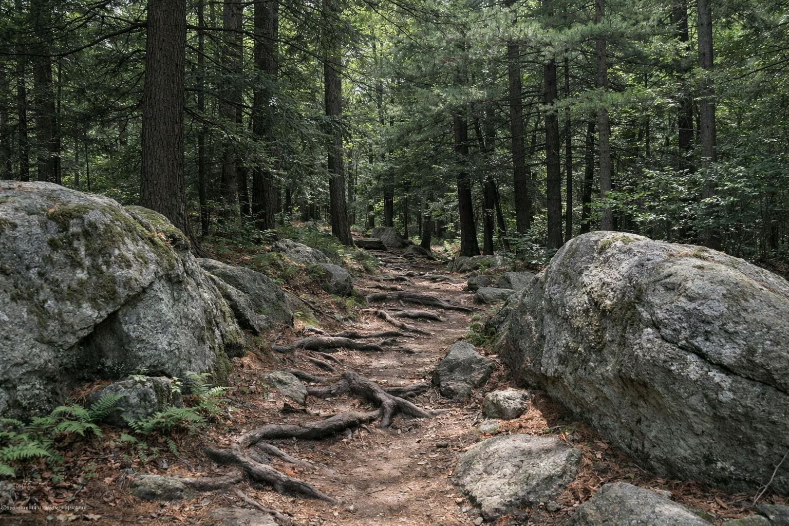
Harold Parker State Forest has 35 miles of trails, according to DCR, and six marked trails between 1.6 and 3.1 miles long. The easiest first walk is the 1.6-mile Sudden Pond loop from the Park Headquarters on Middleton Road; DCR's signature hikes are the 3.1-mile Stearns Pond Trail and the 3-mile Yellow Diamond Trail around Salem Pond. Every trail is shared with mountain bikers and horses.
Marked Trails at a Glance
The Six Marked Trails
DCR's self-guided page names four of them, and the Friends of Harold Parker State Forest publish lengths and turn-by-turn directions for all six. The A and NA numbers in these descriptions are numbered trail junctions, which DCR also uses in its own directions; see trail map.
Sudden Pond Trail (White, 1.6 Miles)
A 1.6-mile loop from Gate 4 near the Park Headquarters. Clockwise it heads away from Middleton Road, rounds the west end of Sudden Pond, follows paved Sudden Pond Road to Gate 5, crosses Middleton Road and returns on fire roads and an old woods road. The Friends warn to watch for horses near the start. This is the shortest marked loop and a good first walk with children.
Berry Pond Trail (Green, 2 Miles)
A 2-mile loop from the Jenkins Lot (Gate 13). It mixes singletrack with the Stone Dust Trail to the Berry Pond pavilion and returns along Harold Parker Road. Pair it with a swim in summer: see Berry Pond.
Friends Loop (Red, 2 Miles)
A 2-mile loop around Collins and Brackett Ponds at the western end of the forest, starting from either the Chimney Lot or the Collins Lot on Harold Parker Road. See the ponds.
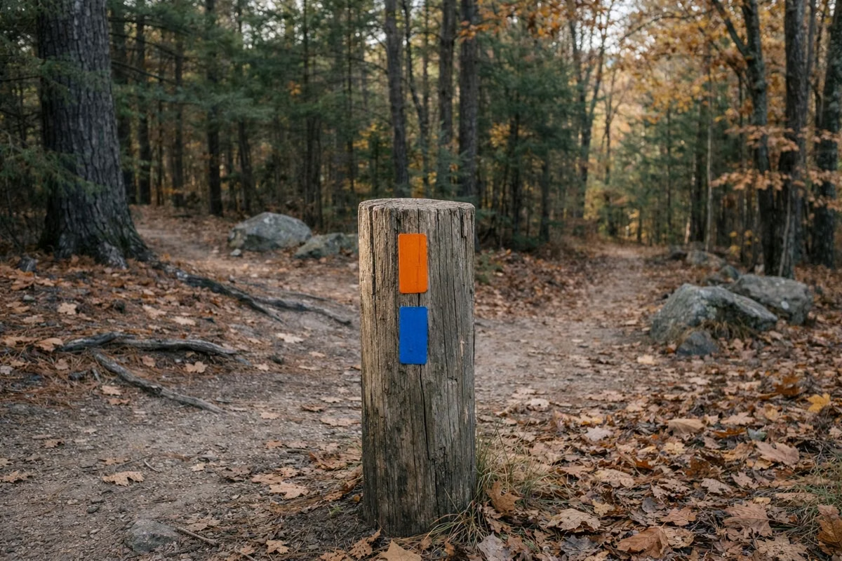
CCC Trail (Orange, 3 Miles)
A 3-mile point-to-point trail from the Chimney Lot on Harold Parker Road to the Park Headquarters. Going east it rounds the north side of Brackett Pond, crosses a boardwalk the Friends and the New England Mountain Bike Association built in 2019, passes the Jenkins Mill site and a glacial erratic, crosses Jenkins Road beside a beaver dam and ends across Middleton Road at the headquarters. The Friends flag two harder stretches, between A7 and A5 and between NA21 and NA19, for rocks, roots and stone wall crossings. Leave a car at each end, or walk it out and back.
Yellow Diamond Trail (Yellow, 3 Miles)
DCR's signature hike: a 3-mile lollipop from the Jenkins Lot that circles Salem Pond, rated moderate. DCR adds plainly that it is not a trail for beginners. It was designed for mountain bikes, with technical singletrack for advanced intermediate and expert riders, so walkers should expect bikes. See mountain biking.
Stearns Pond Trail (Blue, 3.1 Miles)
DCR's other signature hike: a 3.1-mile loop from the Park Headquarters. It follows paved Beach Road to Gate 4, circles Stearns Pond on the fire road, then returns on singletrack with rocky sections and short, steep climbs between NA32 and NA33, where the Friends and NEMBA built a new bridge in 2018.
The Bay Circuit Trail
The Bay Circuit Trail is a long-distance greenway through 37 towns around Boston, and it crosses Harold Parker. The Friends describe the route west to east: it enters from the Skug River Reservation near the Jenkins Mill site, shares the CCC Trail from the glacial erratic across Jenkins Road, splits north at NA21, crosses Middleton Road near the pavilion lot, follows the Ledges Trail and comes out on Harold Parker Road near Route 114, then crosses Route 114 to Berry Street and a parking lot before leaving the forest. To the west, the Andover Village Improvement Society's Skug River Reservation carries it on to Salem Street. See things to do in Andover.
Historic Sites on the Trails
DCR lists the Jenkins Mill and Soapstone Quarry as historic sites. The mill site is west of Jenkins Road near the Bay Circuit Trail and appears on DCR's map: a dam and pond, the mill foundation with its wheel pit, and stone-lined waterways. AVIS notes that the nearby glacial erratic is sometimes used for practice climbing. History on the about page.
Choosing a Walk
- With small children: Sudden Pond (1.6 mi) or the Friends Loop (2 mi).
- With a swim: Berry Pond Trail (2 mi), in season.
- The classic pond loop: Stearns Pond Trail (3.1 mi).
- A one-way walk with history: CCC Trail (3 mi).
- Something harder: link the Yellow Diamond with the CCC Trail, but yield to bikes.
Before You Go
DCR estimates a 1.5-mile-an-hour average hiking pace and asks hikers to start early, carry water, wear sturdy shoes and share their plans. Some trails are not well marked and not every path is on the map. Wear blaze orange in hunting season (see hunting), keep to designated trails, and yield to horses. DCR allows dogs off-leash on trails outside the recreation area and campground; see dogs.
Trails FAQ
How many miles of trails are in Harold Parker State Forest?
DCR's park page says 35 miles of trails. DCR's 2013 management plan counts more when unpaved forest roads are included.
What is the easiest hike at Harold Parker State Forest?
The Sudden Pond Trail, a 1.6-mile white-marked loop from Gate 4 near the Park Headquarters on Middleton Road. The 2-mile Friends Loop around Collins and Brackett Ponds is another easy choice.
What is the best hike at Harold Parker?
DCR's two signature hikes are the 3.1-mile Stearns Pond Trail (blue) from the Park Headquarters and the 3-mile Yellow Diamond Trail around Salem Pond, which DCR rates moderate and not for beginners.
Does the Bay Circuit Trail go through Harold Parker State Forest?
Yes. It enters from the Skug River Reservation near the Jenkins Mill site, crosses Jenkins and Middleton Roads, and leaves near Route 114 in North Andover.
Are the trails at Harold Parker shared with bikes and horses?
Yes. The Friends of Harold Parker note every marked trail is multi-use. Expect mountain bikers and horses, and yield to horses.